
What if a one-and-a-half-mile park could shift a neighborhood’s market by a third? If you live, buy, or sell in Chelsea, you have felt the High Line’s impact. This guide breaks down how a former freight line became a global park, why rezoning unlocked development, and what the numbers say about value. You will leave with clear takeaways you can use in your next move. Let’s dive in.
The timeline that set the market
The High Line did not open all at once, and the timing matters. Phase 1, from Gansevoort Street to about West 20th Street, opened on June 8, 2009. Phase 2, from West 20th to West 30th Street, followed on June 8, 2011. Phase 3, from West 30th to West 34th Street and the Spur by Hudson Yards, opened on September 21, 2014. These dates map closely to major shifts in listings, pricing, and investment around the park’s edges, according to agency materials that tracked development and milestones around the line’s reuse and delivery (Hudson River Park Trust appraisal overview).
Behind the scenes, public and private partners set the stage years earlier. Friends of the High Line advocated to preserve and reuse the structure starting in 1999. CSX donated the right-of-way to the City in 2005, and the City coordinated planning and fundraising through the 2000s, culminating in construction of the first segment and a public–private stewardship model that still programs and maintains the park today (Hudson River Park Trust appraisal overview). That governance approach kept the park highly visible, well-funded, and active, which drew both visitors and investor confidence.
The rezoning that made it possible
The High Line’s market power did not happen by accident. In 2005, New York City adopted the Special West Chelsea District, a rezoning that changed industrial blocks into places where residential and commercial uses could grow. The zoning text anticipated the High Line’s open space and used subareas, floor area ratios, and height rules to steer where and how new buildings would rise. These policies are documented in the City’s Final Environmental Impact Statement, which lays out how the district was designed to capture and shape value created by the park (City Planning FEIS, Chapter 1).
High Line Transfer Corridor and bonuses
A key tool was the High Line Transfer Corridor. It allowed owners to sell unused development rights from lots under or beside the structure to designated receiving sites. Developers could also earn floor area bonuses by contributing to a High Line Improvement Fund and delivering features that relate to the park. In practice, those mechanisms monetized adjacency and encouraged denser, High Line–oriented projects, which accelerated the shift from light industrial and galleries to housing and mixed-use buildings (City Planning FEIS, Chapter 1).
Public–private delivery and visibility
The City partnered with Friends of the High Line and private donors to convert an old rail line into a curated, landscaped promenade. Concentrated fundraising and programming set the tone: art installations, seasonal plantings, and events made the park a celebrated amenity. That profile helped translate planning into demand, which developers met with new product on both sides of the structure (Hudson River Park Trust appraisal overview).
From warehouses to design-forward residences
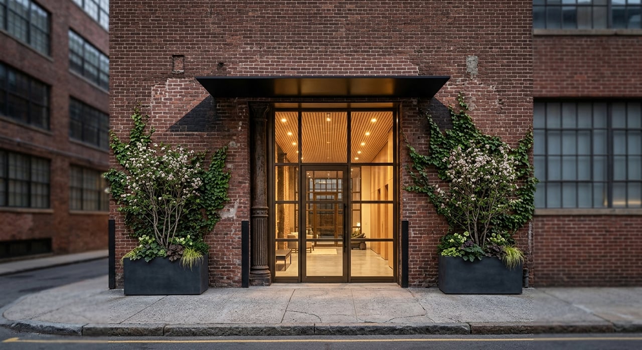
Before the rezoning, many midblocks in Chelsea and West Chelsea were home to warehouses, lofts, and gallery spaces. As the park opened and the Special District took effect, those blocks began to deliver conversions and new construction, including boutique condos, purpose-built rentals, and larger mixed-use towers. A commonly cited agency summary, reported in an appraisal, notes that between Gansevoort Street and West 30th Street, 1,374 new housing units, including 132 affordable homes, and roughly 500,000 square feet of office space were completed or under construction in the years after rezoning. The same source attributes billions in private investment and a wave of projects to the transformation of the corridor (Hudson River Park Trust appraisal overview).
Signature architecture at the edge of the park
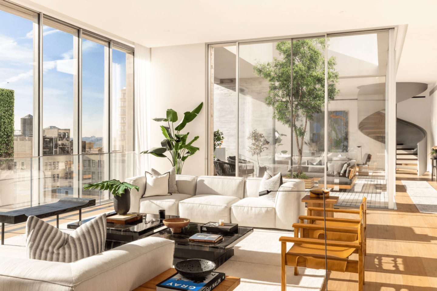
The Special District’s massing, setback, and design rules encouraged buildings to engage the High Line with terraces, glazing, and activated ground floors. Two examples illustrate this shift. Shigeru Ban’s Shutter House, an 11-story duplex and loft building, is often cited as a design response to the High Line context and the rezoning that framed it (project overview). Nearby, Zaha Hadid’s 520 West 28th delivered a sculptural, limited-collection condominium that embraces the park’s views and movement with sweeping lines and framed sightlines (project page). These are not one-offs. They signal how developers and architects prioritized outlooks, terraces, and frontages that face the park.
What happened to prices
Here is the headline number buyers and sellers ask about: peer-reviewed research estimates that homes within roughly 80 meters of the High Line experienced about a 35.3% increase in sale price relative to comparable areas after the park opened. The premium was strongest for units whose floor level aligned with the park’s elevation, and it decayed with distance from the line. Later phases still mattered, but the first opening delivered the largest marginal effect, which suggests novelty and brand power were concentrated early on. These findings come from a rigorous difference-in-difference and spatial analysis of the corridor’s sales data (Black & Richards 2020).
What does that mean in practical terms? If you are adjacent to the park, line-of-sight, floor elevation, and privacy features can drive notable differences in pricing even within the same building stack. As distance increases, the premium shrinks. Marketing and design that foreground direct park engagement tend to capture more attention, and the sales market rewarded those attributes repeatedly during and after the phased openings (Black & Richards 2020).
Lifestyle shifts and real tradeoffs
The High Line added a curated green corridor, unique city views, and consistent public programming. That blend of walkability, culture, and design elevated Chelsea’s profile for buyers who value daily access to open space, galleries, and high-quality dining. It also contributed to more visitors and daytime crowds, which some residents see as a plus and others as a drawback. Both effects show up in the research and in neighborhood reporting around retail shifts and street life near the park (Hudson River Park Trust appraisal overview; Black & Richards 2020).
Scholars also use the High Line as a case study in amenity-led upscaling. Their core finding is straightforward: without strong affordability tools, owners of nearby property, developers, and higher-income newcomers capture the lion’s share of gains. The literature recommends pairing major amenity investments with anti-displacement and inclusion strategies to balance outcomes across residents (green gentrification review).
Buying near the High Line: what to look for
If you are shopping within a short walk of the park, focus on details that the market has proven it values.
- Elevation alignment: Units level with the park often see stronger premiums. Check the floor height relative to the nearest segment (Black & Richards 2020).
- Lines of sight and privacy: Corner exposures, set-back terraces, and smart glazing help balance views with privacy from foot traffic.
- Building orientation: Facades and amenities that face the High Line tend to be points of differentiation. Confirm whether a building has design features or entries that engage the park context (City Planning FEIS, Chapter 1).
- Street-level reality: Visit at different times of day and on weekends to gauge crowds, sound, and retail energy.
- Future supply and comps: Compare recent sales by distance band and elevation. New delivery can change the landscape block by block.
Selling in Chelsea: how to position your property
If you own near the High Line, you can frame the lifestyle and design advantages clearly to capture buyer attention.
- Lead with the park connection: Views, terraces, and direct outlooks are hero features. Highlight any design that engages the High Line.
- Elevation matters: If your floor aligns with the park, make that point in photography and copy. It is a simple, memorable proof of value.
- Show the lifestyle: Feature the curated green space, art moments, and walkability in your marketing plan.
- Use platform reach: Cinematic storytelling and smart distribution amplify what makes your home singular. That mix drives exposure and pricing power for High Line–oriented properties.
Want a launch plan that treats your home like a signature product? SERHANT. combines studio-grade film, editorial storytelling, and tech-driven amplification to convert attention into offers.
FAQs
Does the High Line really raise nearby home prices?
- Yes. Peer-reviewed research estimates about a 35.3% sale price premium for homes within roughly 80 meters of the park, with the strongest effects at elevations level with the High Line (Black & Richards 2020).
How did rezoning enable Chelsea’s transformation?
- The 2005 Special West Chelsea District allowed residential and commercial growth, created the High Line Transfer Corridor with transferable development rights, and tied bonuses to High Line improvements, which steered form and unlocked value around the park (City Planning FEIS, Chapter 1).
What changed in the neighborhood’s housing and design?
- The corridor shifted from warehouses and galleries to boutique condos, rentals, and mixed-use towers, with thousands of new units delivered or planned and standout architecture that foregrounds park views (Hudson River Park Trust appraisal overview; Shutter House; 520 West 28th).
Are there tradeoffs to living beside the High Line?
- Yes. The park’s popularity brings foot traffic and retail energy that some value and others find busy, a pattern noted in research on the corridor’s livability and visitor volumes (Black & Richards 2020).